Aerial view of Platte River at sunrise
2023-2024
PRRIP Biennial Report

This report contains a high-level summary of the activities and accomplishments of the Platte River Recovery Implementation Program during 2023 and 2024.
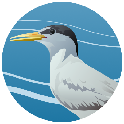
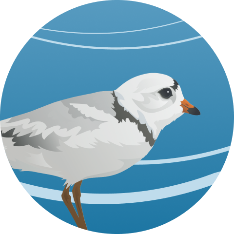
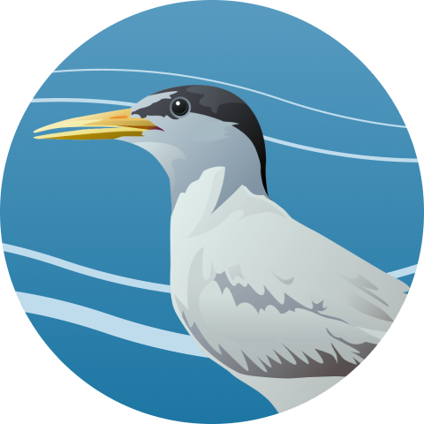
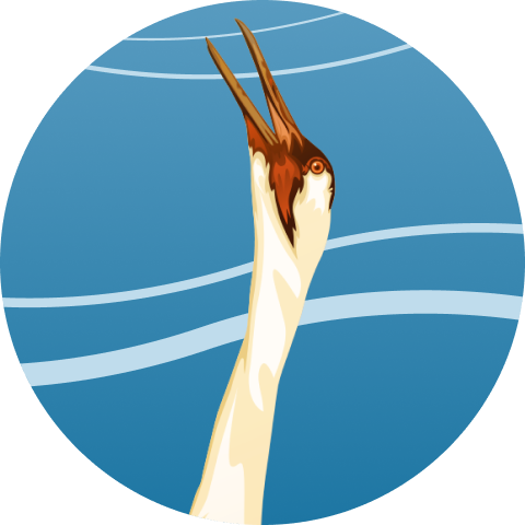
Target Species

Species We Help

A primary focus of the Program is enhancing, restoring and protecting habitat lands for these threatened and endangered species
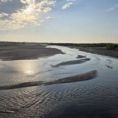
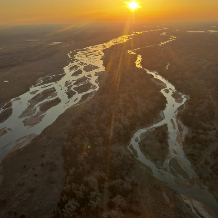
A map of PRRIP Associated Habitats Reach
A valuable Resource
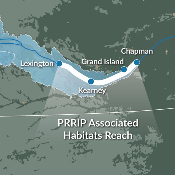
The Platte River Basin

River Flow Data

View river level graphs and download gage data

Hydrologic Conditions

Current and past streamflow conditions and targets

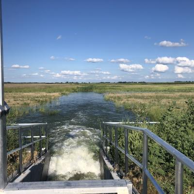
Weekly Flow Summaries

View past and present summaries of river flow
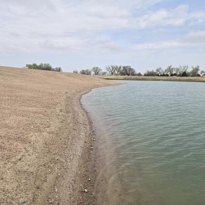
PRRIP Map

Conservation lands and research segments map

Our Focus Areas

Program Components

From flowing water to healthy lands to adaptive strategies, these three components form the foundation of the Program. By working together, they keep the Platte River resilient in the face of changing conditions.

Shallow braided channels lit by morning sun on the Platte River.

The Program uses incentive-based water projects to keep enough water flowing through the central Platte River to support habitat for target species. In this first phase, the focus is on improving flow timing and reducing shortages by about 130,000 to 150,000 acre-feet each year. Spring pulse flows also help create open sandbars, giving plovers and terns the bare nesting areas they need.

View of a gently sloped sandy shoreline curving around a calm off-channel basin, with trees and cloudy sky in the background at Cottonwood Ranch in Nebraska.

The Program’s first step is to protect and restore 10,000 acres of habitat. Over the long term, the goal is to grow that number to about 29,000 acres along the central Platte River between Lexington and Chapman. Acres protected now, along with qualifying lands managed by partners like conservation groups and irrigation districts, all count toward this shared vision.

Water released from a metal control gate spreads across a grassy wetland under a blue sky.

The Program relies on an Adaptive Management Plan —a science-based process for testing ideas and learning what works best. Developed with input from partners, cooperators, and experts nationwide, the plan focuses on key questions about how the river functions and how to most effectively reach Program goals.